Location:
Bentonville, AR
Drone Services/Boundary & Topographic Survey
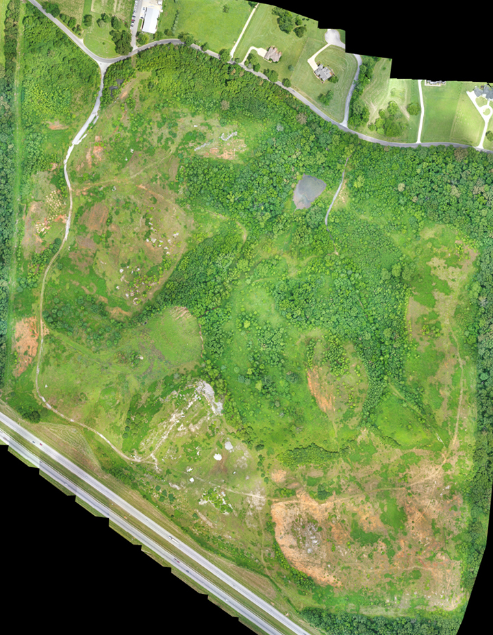
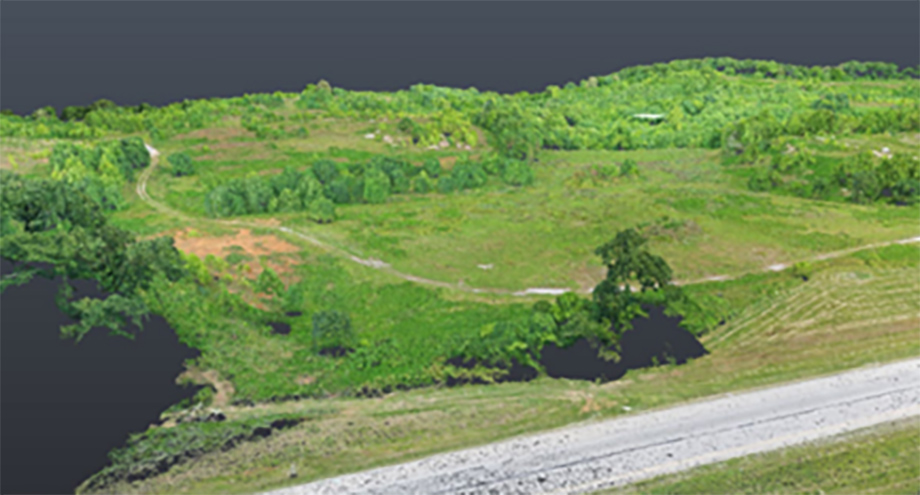
The tract of land consisted of 153 acres in between Interstate 49 and Ford Springs road in North Bentonville. CEI utilized our drone services to complete an aerial survey for obtaining physical features and linework to provide an ALTA/NSPS Land Title Survey. Field crews coordinated with the local municipality to accurately locate a the 12” water main traversing through the site. The survey was used to purchase the property and begin master planning facilities and trails. After purchase, a topographic survey was ordered to get a better idea of the elevation changes. A digital terrain model was provided using LiDAR technology.
Sign up for updates, new events and more!
We use cookies to improve your experience on our site. By using our site, you consent to cookies.
Manage your cookie preferences below:
Essential cookies enable basic functions and are necessary for the proper function of the website.
CleanTalk offers effective spam protection and website security solutions to enhance user experience.
Service URL: cleantalk.org (opens in a new window)
Statistics cookies collect information anonymously. This information helps us understand how visitors use our website.
Google Analytics is a powerful tool that tracks and analyzes website traffic for informed marketing decisions.
Service URL: policies.google.com (opens in a new window)
Google reCAPTCHA helps protect websites from spam and abuse by verifying user interactions through challenges.
You can find more information in our Cookie Policy and .