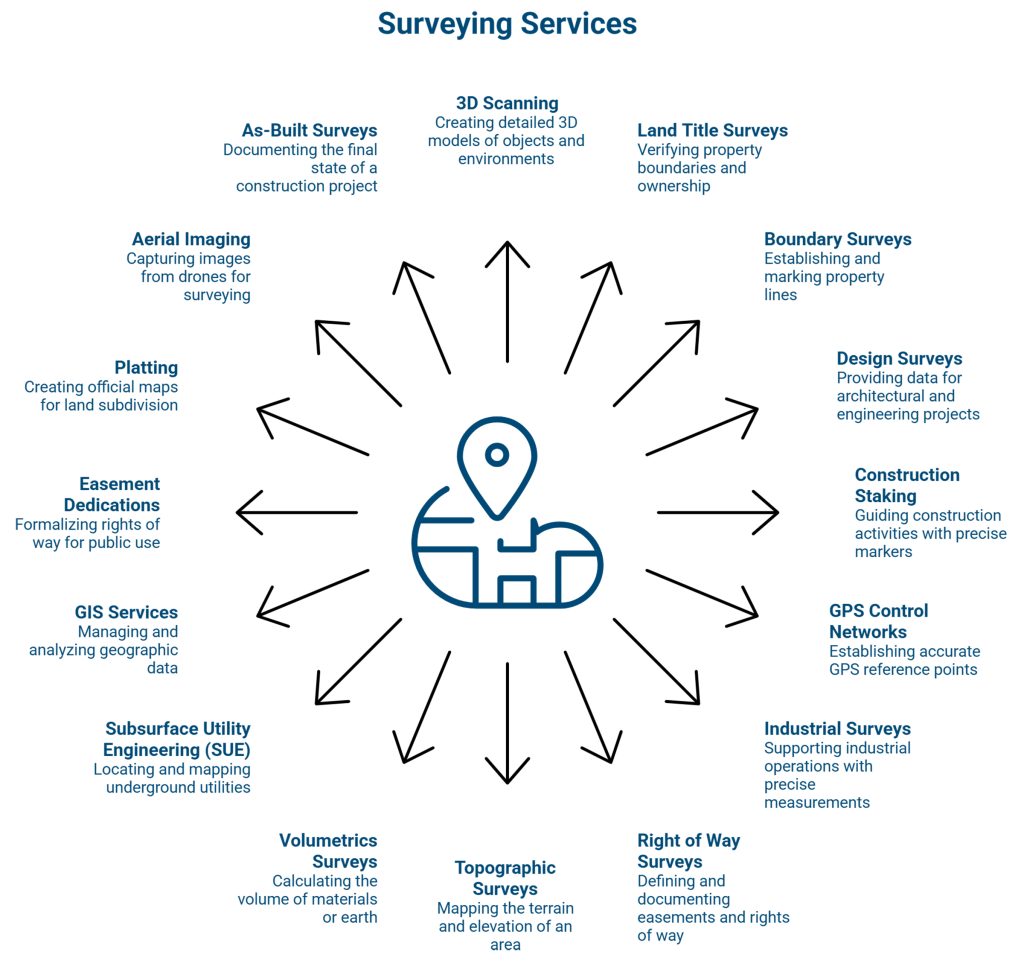
Our professional survey team combines deep experience with the latest advancements in survey technology to deliver accurate, efficient, and dependable results. We provide full-service surveying support through every phase of a project. From early site investigations and boundary surveys to detailed topographic mapping, GIS services, Subsurface Utility Engineering (SUE), ALTA Surveys, LiDAR scanning, aerial mapping, construction staking, and final as-built surveys.
We take a modern approach to a well-established profession, using advanced tools such as cloud-connected equipment, GIS, UAV solutions, and LiDAR to improve accuracy, reduce field time, and accelerate project schedules.
Our team serves projects of every size and complexity, including public infrastructure, commercial developments, mixed-use projects, retail programs, and private developments.
More than collecting data, we help clients make informed decisions. We transform complex site information into clear, actionable deliverables that owners, developers, engineers, architects, and communities can easily visualize and understand.
With responsive service, competitive fees, and a commitment to quality, we help clients move forward with confidence.
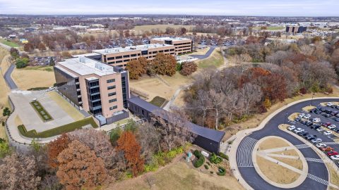
Civil Engineering, Construction Administration, High Profile, Land Surveying
View Details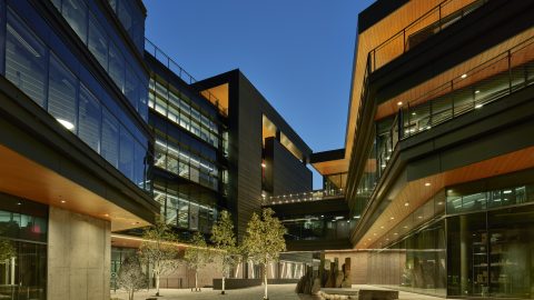
Civil Engineering, Construction Administration, High Profile, Land Surveying
View Details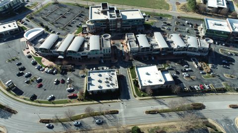
Civil Engineering, Construction Administration, High Profile, Land Surveying, Planning, Retail Development
View Details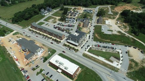
Civil Engineering, High Profile, Land Surveying, Planning, Retail Development
View Details
Civil Engineering, Construction Administration, High Profile, Land Surveying, Landscape Architecture, Public Works
View Details
Civil Engineering, Land Surveying
View Details
Civil Engineering, Land Surveying
View Details
Civil Engineering, High Profile, Land Surveying
View Details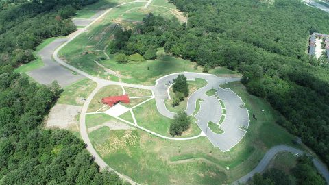
Land Surveying, Landscape Architecture, Parks & Trails
View Details