Location:
Rogers, AR
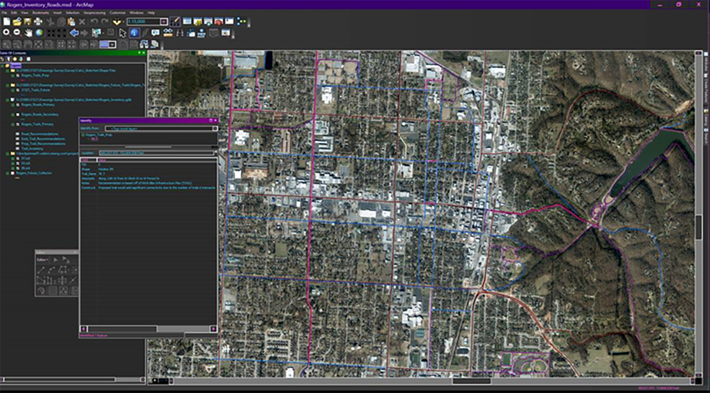
Project consisted of master planning for inventory of existing streets and trails within the downtown quadrant to identify areas where improvements are needed for connectivity and safety. A Geographical Information System (GIS) database was custom built to display specific information requested. The database included width, type of pavement, striping, etc. Oversee database creation and technical support.
Sign up for updates, new events and more!
We use cookies to improve your experience on our site. By using our site, you consent to cookies.
Manage your cookie preferences below:
Essential cookies enable basic functions and are necessary for the proper function of the website.
CleanTalk offers effective spam protection and website security solutions to enhance user experience.
Service URL: cleantalk.org (opens in a new window)
Statistics cookies collect information anonymously. This information helps us understand how visitors use our website.
Google Analytics is a powerful tool that tracks and analyzes website traffic for informed marketing decisions.
Service URL: policies.google.com (opens in a new window)
Google reCAPTCHA helps protect websites from spam and abuse by verifying user interactions through challenges.
You can find more information in our Cookie Policy and .