Location:
Centerton, AR
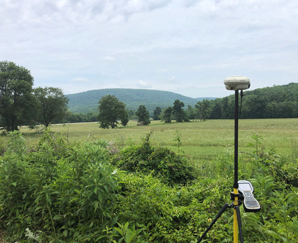
CEI was selected to provide land survey services for the new construction of a 10” line stretching 5.8 miles beginning near Hiwassee and ending in Centerton, crossing 52 parcels. CEI utilized GPS/Robotic technology along with wireless transfer capabilities to send files from field to office. A short time line of 3 months was given to complete field work and provide the client with a proposed route and the boundary and Right-of-Way lines. After the deliverables were sent, CEI worked closely with Black Hills to make quick changes in the route due to uncooperative land owners. Once the route was set, CEI staked the Right-of-Way and easements for construction of the new line.
Sign up for updates, new events and more!
We use cookies to improve your experience on our site. By using our site, you consent to cookies.
Manage your cookie preferences below:
Essential cookies enable basic functions and are necessary for the proper function of the website.
CleanTalk offers effective spam protection and website security solutions to enhance user experience.
Service URL: cleantalk.org (opens in a new window)
Statistics cookies collect information anonymously. This information helps us understand how visitors use our website.
Google Analytics is a powerful tool that tracks and analyzes website traffic for informed marketing decisions.
Service URL: policies.google.com (opens in a new window)
Google reCAPTCHA helps protect websites from spam and abuse by verifying user interactions through challenges.
You can find more information in our Cookie Policy and .